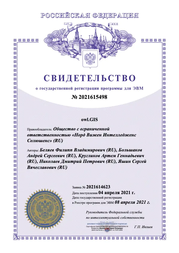
/owl.GIS
The software can be used to visualize the monitoring of personnel and vehicles, as well as to develop situational analytical centers.

Solved tasks
Coordinated work of subdivisions while solving production tasks
Single place for data storage
Increasing the quality and speed of management decision-making
Providing necessary geospatial information
Product capabilities
Displays cartographic materials in 3D mode, including detailed 3D models of various objects
Operates with spatial data unlimited in terms of area coverage and scope
Integrates with systems of construction and personnel monitoring, drilling, video monitoring, automated control systems, etc.
Uses a standard web-browser as client software
Analytics capabilities
Execution of overlay queries
Automatic classification, digitization of data using proprietary neural networks
Development of raster and vector processing algorithms
Dynamic generation of heat maps
Compiling analytical reports on the data set
Infrastructural components
Integration modules
Designed to retrieve data from a customer’s systems
Application microservices
Services designed to perform the functions, specified in the ToR
Zuul
API gateway, designed for redirecting requests from the system applications to the applicable services, with user rights verification
Keycloak
Authorization service that allows performing authorization using LDAP (Active Directory), social networks, USIA;
Cloud config
Unified configuration management service for microservices and integration modules
Geoserver
Geoinformation server, which implements support for Open Gis Consortium standards, such as WMS, WFS, WMTS, as well as vector tiles used in progressive rendering of maps and schemes on client devices.
PostgreSQL
Designed for retrieving data from a customer’s systems
Redis
Services intended to perform the functions specified in the ToR
HASURA
API gateway, designed to redirect requests from system applications to the applicable services, with user rights verification
NGINX
Authorization service that allows authorization using LDAP (Active Directory), social networks, USIA;
Elasticsearch
Unified configuration management service for microservices and integration modules
Infrastructural components
Integration modules
Designed to retrieve data from a customer’s systems
Application microservices
Services designed to perform the functions, specified in the ToR
Zuul
API gateway, designed for redirecting requests from the system applications to the applicable services, with user rights verification
Keycloak
Authorization service that allows performing authorization using LDAP (Active Directory), social networks, USIA;
Cloud config
Unified configuration management service for microservices and integration modules
Geoserver
Geoinformation server, which implements support for Open Gis Consortium standards, such as WMS, WFS, WMTS, as well as vector tiles used in progressive rendering of maps and schemes on client devices.
Postgesql
Designed for retrieving data from a customer’s systems
Redis
Services intended to perform the functions specified in the ToR
HASURA
API gateway, designed to redirect requests from system applications to the applicable services, with user rights verification
NGINX
Authorization service that allows authorization using LDAP (Active Directory), social networks, USIA;
Elasticsearch
Unified configuration management service for microservices and integration modules
Contact:
Copyright Holder:
Exclusive rights for the program owl.Guard belong to LLC NVI RESEARCH
Sales Department:
info@nvi-research.com
Customer Service:
info@nvi-research.com
Phone:
+7 (499) 397-87-58